Environmental Analysis
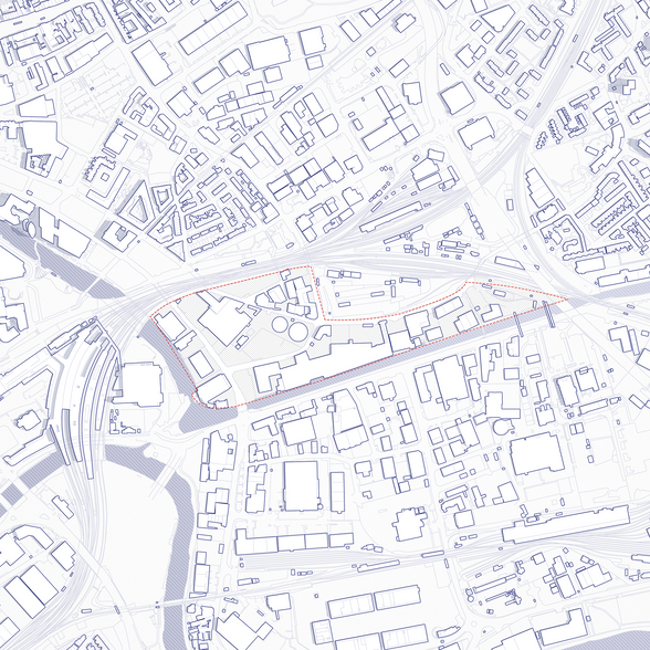
The site is located on the south bank of the River Avon within the Lawrence Hill area of the City of Bristol. The Site is bounded by the River Avon to the south, the A4320 road to the east, and railways to the north. The River Avon flows adjacent to the Site from the east to the west.
Flooding
The Flood Zone map produced using data from the Environment Agency (EA), from the gathered data, it is evident that the site does have a medium to low risk of flooding, with the majority of the risk along the southern edge of the site. The banks of the river consist of masonry retaining walls will existing buildings occupying the space directly next to the river. From this analysis, consideration must be made in forming flood defended to prevent against tidal and fluvial flooding. As a group, we have believed the most effective flood strategy would be implemented defences and barriers not on site, but closer to the source on the River Avon. This would prevent the risk of flooding on a larger city scale.
Nature
These constraints limit the available space for natural green-spaces. Considered landscaping can be found through the local parks and screening of the rail-lines and roads. In addition, a major feature of the site is the River Avon on the southern boundary of the site. The nature of the site acts to promote local biodiversity; although limited, the site is contributing to the local fauna of the area. General waste from the urban setting also presents an opportunity for foxes and badgers to thrive on site.
Wind
The openness of the site provides little shelter from the winds. Data gathered from ‘Windfinder’ in Bristol demonstrates to us, that the predominant wind direction in the local area is from the south-west. Translating this information to site, we can see that southern winds would be sheltered from the existing built environment. However, the westerly winds will find little resistance rushing onto site, this is exacerbated from the divide between site and local context formed by the rail-lines and the River Avon. From this analysis, consideration must be made to provide screening in the westerly direction in order to mitigate exposure to the wind.
Noise
The site is located within an area of light industry and commerce. The majority of the current landscape is restricted to working hours, with the exception of the music venue ‘Motion’ located on the south-west edge go the site. Practices within the site result with the need of HGV’s and service vehicles, causing a source of low-level noise pollution. In addition, the proximity to local residential properties adds to the amount of the traffic and noise moving through the site. The two major source of noise close to the site is St Philips Causeway to the east, and Temple Meads to the north. These infrastructures operate constantly and are only shielded from the site with a single line of trees to mitigate the sound.
Sunlight and Shadowing
The site consists primarily of single storey buildings, with large sections of open spaces for car-parking and transport. Due to the low building heights, the site has little shelter from sunlight and wind exposure. In addition, the divide formed from the rail-lines and the River Avon act to reduce the impact of the natural screening and neighbouring buildings. Examining the shadow depth on site, we can see little meaningful change to the site other than the shading of Silverthorne Lane.
Views
The external views looking into the site are limited due to vegetation, train-lines and high walls. This visual restriction acts to seclude the site from the immediate context. This theme is continued on-site, where the high walls channel the views along the roads. However, the south-west edge of the site is currently a low levelled car lot enabling views along Avon Street, towards a larger context.


